Setting up geo-location data on a Drupal site is startlingly straightforward these days: pop in Geofield or Geolocation module and start adding latitude and longitude data to your nodes. Once you have the data, setting up maps and other complex geographically-aware content listings is easy. Unfortunately, it's that "getting the data" part that can be thorny. If users are willing to type in exact street addresses or latitude/longitude pairs themselves, there are more than a few options. If you need to transform other kinds of data into useful location data, though, Geocoder might just do the trick.
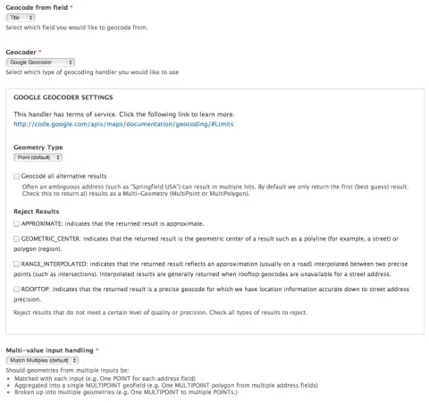
Geocoder provides as a custom field editing widget for several popular location storage fields (Geofield, Geolocation, and Location module). Rather than offering a custom input form, however, it lets the site administrator pick another field on the content type that contains some geographical information.
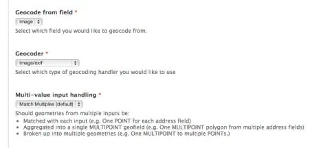
Are you creating nodes whose titles are city names? Tell Geocoder to send that title to Google's geocoding service and store the resulting data in the Geofield. Are your site's users uploading photos with location information from a camera phone? Tell Geocoder to use the image field as its source, and the location data will be extracted automatically. The actual location storage fields -- the ones that hold latitude and longitude values -- are kept hidden from users and editors entirely.
Geocoder supports an impressive array of encoding APIs and data extraction mechanisms, from uploaded .KML files to Mapquest-parsed street addresses. It's an excellent swiss army knife for sites that need user-entered geo data, and a great addition to any site builder's arsenal.


